It's about time for the spring update of goings on in Maps!
There's been some changes going on since the release of 46.
Vector Map by Default
The vector map is now being used by default, and with it Maps supports dark mode (also the old raster tiles has been retired, though there still exists the hidden feature of running with a local tile directory. Which was never really intended for general use but more as a way to experiment with offline map support). The plan will be to eventually support proper offline map support with a way to download areas in a more user-friendly and organized way then to provide a raw path…).
Dark Improvements
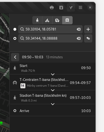
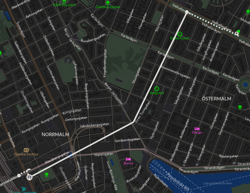
Following the introduction of dark map support the default rendering of public transit routes and lines has been improved for the dark mode to give better contrast (something that trickier before when the map view was always light even when the rest of the UI, such as the sidebar itinerary was shown in dark mode).
More Transit Mode Icons
Jakub Steiner and Sam Hewitt has been working on designing icons for some additional modes of transit, such as trolley buses, taxi, and monorail.
 |
| Trolley bus routes |
This screenshot was something I “mocked” by changing the icon for regular bus to temporarily use the newly designed trolley bus icon as we don't currently have any supported transit route provider in Maps currently that exposed trolley bus routes. I originally made this for an excursion with a vintage trolley bus I was going to attend, but that was cancelled in the last minute because of technical issues.
 |
| Showing a taxi station |
And above we have the new taxi icon (this could be used both for showing on-demand communal taxi transit and for taxi stations on the map.
These icons have not yet been merged into Maps, as there's still some work going on finalizing their design. But I thought I still wanted to show them here…
Brand Logos
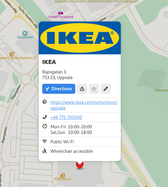
For a long time we have shown a title image from Wikidata or Wikipedia for places when available. Now we show a logo image (using the Wikidata reference for the brand of a venue) when available, and the place has no dedicated article).
Explaining Place Types
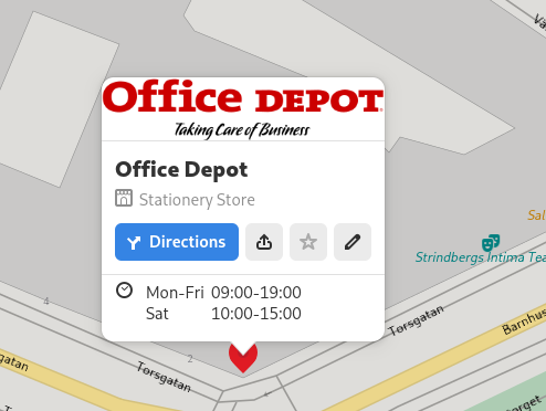
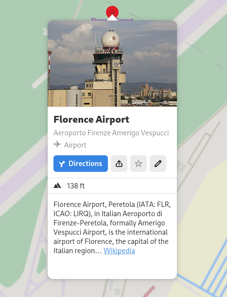
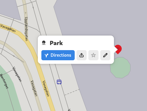
As sometimes it can be a bit hard to determine the exact type from the icons shown on the map. And especially for more generic types, such as shops where we have dedicated icons for some, and a generic icon. We now show the type also in the place bubble (using the translations extracted from the iD OSM editor).
Places with a name shows the icon and type description below the name, dimmed.
For unnamed places we show the icon and type instead of the name, in the same bold style as the name would normally use.
Additional Things
Another detail worth mentioning is that you can now clear the currently showing route from the context menu so you won't have to open the sidebar again and manually erase the filled in destinations.
Another improvement is that if you already enter a starting point with ”Route from Here“, or enter an address in the sidebar and then use the “Directions” button from a place bubble, that starting point will now be used instead of the current location.
Besides this, also some old commented-out code was removed… but there's no screenshots of that, I'm afraid ☺

